Zhada, which means in Tibetan "the place where there are grass in the lower reaches of river," is a county under the administration of Nagri Prefecture.
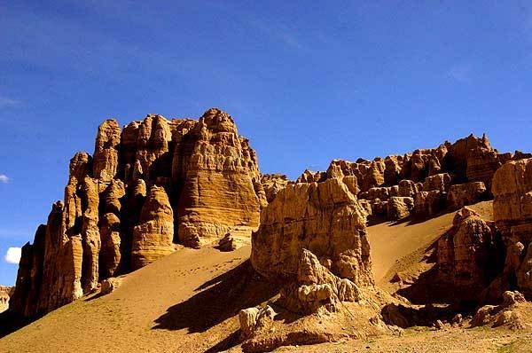
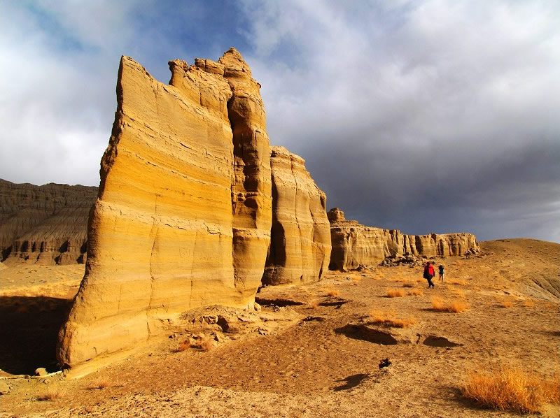
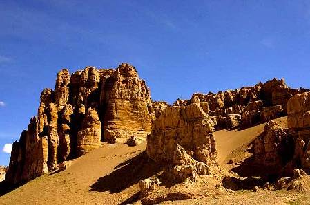
Entering into Zhada county, the clay forest standing on both sides of Elephant Spring River winds over more than five kilometers. The clay is like warriors defending the mountaintop, some like thousands of horses galloping, and some like devout followers of a religion nurturing themselves, standing there quietly. From different angles, you can see wonderful scenery.
The clay forest in geology is known as "the Level Terrane Physiognomy," formed by erosion, where the sediment of lakes and rivers, mainly composed by sandstone and clay, have formed into various shapes. The Level Terrane has developed upright qualities, and the valley is deep.

The orogenic movement of the Himalayas has made the bottom of the lake ascend. And the undulating earthen forest for dozens of kilometers formed by the subsiding water and long years of weathering has taking a toll, forming narrow earthen forests. Itt feels as if one is walking in the ruins of an ancient kingdom, desolate but magnificent.
This peculiar and mystical geography of the clay forests densely covers the whole Zhada County. The ruins of Xiangxiong and Guge kingdoms also lie here. During the ancient Xiangxiong and Guge kingdoms, people lived in natural caves that had been formed here.
Best time to go: Summer
|