| |
Xigaze connects with Nepal, Bhutan, and Sikkim (state in India) in the south, Ngari in the west, Nagqu in the north, and Lhasa and Shannan in the east. It occupies an area of 182,000 square kilometers, 800 kilometers from east to west and 220 kilometers from north to south, with a border 1,753 kilometers long.

Historically called Tsang, Xigaze has been an important administrative district of Tibet since ancient times. Because Tsang is located mostly along the upper Yarlung Zangbo River, it was also called Houtsang, a name still used today.
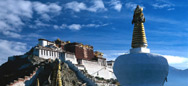
Under the prefecture's jurisdiction are the city of Xigaze, 17 counties, and Zham port, the largest State trade port in Tibet. The city of Xigaze, site of the Xigaze Administrative Office, is the second largest city in Southwest China's Tibet, with a history of more than 600 years.
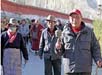
The prefecture has a population of about 650,000, of which Tibetans make up 95 percent; the other 5 percent is composed of Han Chinese and 15 other ethnic groups, such as Hui, Monggol, Tu, Manchu, Miao, and Zhuang. There are also about 1,875 Xia'erba people. The population in Xigaze forms one-fourth of the population in Tibet Autonomous Region, and the population density is 3.3 people per square kilometer. Most of the people live in the Yarlung Zangbo River area, while the western pastoral area is sparsely inhabited.
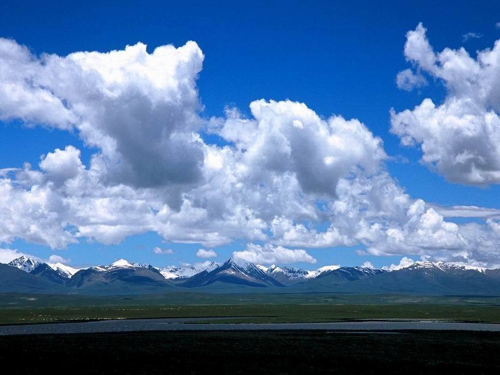
Xigaze is located mostly between the middle of the Himalayas and the middle of the Kangdese-Nyainqentanglha ranges. The southern and northern terrains are high, while the South Tibet Plateau and the Yarlung Zangbo River constitute the low-lying middle area. Formed basically of high mountains, wide valleys, lakes, and basins, this land has a varied topography with an average elevation of more than 4,000 meters.
The Himalayas, which stretch across southern Xigaze, is the youngest and highest mountain range in the world, with an average elevation of more than 6,000 meters. In that area, five peaks are more than 8,000 meters high -- Mount Qomolangma (also known as Mount Everest -- 8,848.13 meters), Mount Lhoze (8,516 meters), Mount Kab (8,463 meters), Mount Qowowuyag (8,201 meters), and Mount Xixabangma (8,012 meters). Mount Qomolangma, located on the border between Xigaze and Nepal, is the world's highest peak, the roof of the world. In addition, there are 14 peaks that stand more than 7,000 meters above sea level. Besides those mentioned above are high mountains such as Karru La, Gyaco La, Ma La, Zom La, Lhagyi, and Mari La. All these mountains are spectacular natural views ideal for sightseeing, exploring, and conducting scientific investigations.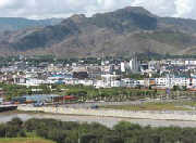
The upper southern Tibetan basin along the Yarlung Zangbo and Nyang Qu rivers is the largest grain production area in Xigaze, and consists of parts of the densely populated Larze-Rinbung valley and Gyangze-Xigaze plain. Other plains include the Penqoi River valley on the southern Tibet Plateau at the northern foot of the Himalayas and some sparsely scattered small river valleys. These plains sprawl on gentle slopes, with thick soil, temperate climate, and plentiful water. With natural conditions suitable for growing crops, they form the major farming areas in Xigaze.
|
|